Ground truth53.0780° N 1.4779° WCrich, Derbyshire

Know the ground before you buy it.

plot.market is a free, map-first search for UK building plots from independent agents. Every plot comes with the official maps and ground records read at its pin, the planning record quoted where we have it, and the source next to every answer.

114 plots for sale from 24 independent agents · snapshot 5 Oct 2026

How it works

Three steps from a pin to an offer.

  1. 01 · Search

    Find a plot on the map

    Plots for sale from independent estate and land agents. Every listing links to the agent’s page and shows the date we last checked it.

  2. 02 · Read

    Open the plot page

    Four questions answered, each marked Clear, Needs checking or Problem, and labelled with where the answer came from.

  3. 03 · Act

    Start here

    The three most urgent steps, local specialists and a 29-step buying path. You contact the selling agent directly.

What we read

Eight layers under every pin.

Code and official data decide the facts. AI explains, reads and drafts, and every AI claim cites its source.

  1. Layer 01

    Planning decisions

    We quote the agent and the council’s decision notice where we have it. AI reads the notice for what was permitted, the conditions and the expiry, and quotes the source. “Agent reports…” is never shown as fact.

    At Crich, 8 Oct 2026Bagshaws says “Outline planning permission.” Marked Needs checking: ask for the council decision notice.

    Source: Agent particulars · council decision notices
  2. Layer 02

    Flood

    Flood maps, checked at the plot’s pin. Anything found is marked, labelled with the map it came from.

    Source: Official maps
  3. Layer 03

    Protected land

    Protected land on official maps, checked at the pin, so a designation shows up before you offer.

    Source: Official maps
  4. Layer 04

    Mining

    Mining records at the pin. Old workings change what the ground needs, so they’re flagged up front.

    Source: Official maps
  5. Layer 05

    Radon

    Radon records at the pin, which point to basic or full radon protection for a new home.

    At Crich, 8 Oct 2026Radon level 5 of 6. Radon protection is needed for a new home here.

    Source: Radon records
  6. Layer 06

    Ground

    Ground records at the pin: a first read of what’s underneath. A starting point for your ground specialist, not a survey.

    Source: Ground records
  7. Layer 07

    Water and power

    Water and power records at the pin, with local utility specialists to ask what can connect.

    At Crich, 8 Oct 2026Water: Severn Trent Water. Power: NGED. Ask both for connection quotes.

    Source: Water and power records
  8. Layer 08

    Registered parcels

    Registered parcel outlines from HM Land Registry (INSPIRE), and council planning-site boundaries where available. Context only: an outline is not the land for sale.

    Source: HM Land Registry INSPIRE · council planning sites

Swipe the layers. The colour shows which layer is being read, not what it found.

  • The contours are real ground at Crich. The colour shows which layer is being read, not what it found.

Every plot page answers four questions.

Each answer is marked Clear, Needs checking or Problem and labelled with where it came from. Unknowns stay Needs checking. Below are the real answers for the plot under the contours, as plot.market showed them on 8 Oct 2026.

The plot under the contours · live 8 Oct 2026New Road, Crich, Derbyshire£135,000 · 0.073 acres · BagshawsOpen the plot page →
01 · Planning status, quoting the agent and the council’s decision notice where we have it.

Can I build here?

Needs checking

Bagshaws says: “Outline planning permission.” Ask for the council decision notice.

Source: Bagshaws

Permitted / Needs checking / Problem

02 · Flood, protected land and mining, checked at the plot’s pin.

Any warnings on official maps?

Needs checking

Found at the map pin: radon.

Source: 27 official maps, checked 8 Oct 2026

Clear / Needs checking / Problem

03 · Water, power, radon and ground records at the pin.

Ground and services

Needs checking

Water: Severn Trent Water, power: NGED, radon level 5 of 6. Radon protection is needed for a new home here.

Source: 10 official records, checked 8 Oct 2026

Clear / Needs checking / Problem

04 · The documents to get first.

Ready to offer?

Needs checking

4 documents to get before you offer: the decision notice, the sale plan, the title plan and the services information. Ask Severn Trent Water and NGED for connection quotes.

Source: Next step on the page: request the documents

Ready / Needs checking / Under offer

Indicative budget

The whole build, not just the land.

At New Road, Crich, on 8 Oct 2026:

Plus 12 items still to be quoted, such as:

Biodiversity net gainNutrient neutrality mitigationAccess and driveway works

Start here

The three most urgent steps.

With local specialists whose contact details come from their own sites. At Crich:

  1. Get the documents from the agent
  2. Have a solicitor check the title and access
  3. Ask a specialist about the higher radon area

The full buying path

29

steps, ticked off per plot.

And the planning documents read for you: what was permitted, the conditions and the expiry, quoting the source.

61 checks, matched to the plot.

The surveys, reports and permissions a plot can need, grouped here by the layer they relate to. Each one points to the kind of specialist who does it.

Showing all 61 checks

  1. 01Contamination desk study (Phase 1) (Ground)
  2. 02Geotechnical site investigation (boreholes and lab tests) (Ground)
  3. 03Foundation depth near trees on shrinkable clay (NHBC 4.2) (Ground)
  4. 04Engineered foundation or slope design (Ground)
  5. 05Specialist foundation contractor (piles, raft, deep trench fill) (Ground)
  6. 06Slope stability assessment (Ground)
  7. 07Ground gas monitoring and protection (Ground)
  8. 08Coal Mining Risk Assessment (Mining)
  9. 09Mining search (coalfield, tin, lead, brine) (Mining)
  10. 10Basic radon protection (Radon)
  11. 11Full radon protection (Radon)
  12. 12Groundwater SPZ1: piling and drainage restrictions (Ground)
  13. 13Site-specific flood risk assessment (Flood)
  14. 14Watercourse permit or consent (Flood)
  15. 15Percolation test for off-mains drainage (Water and power)
  16. 16Package treatment plant (Water and power)
  17. 17New utility connections (power, water, sewer, gigabit) (Water and power)
  18. 18Electricity network capacity / long run (Water and power)
  19. 19Overhead power line clearance (Water and power)
  20. 20Topographical (and utilities) survey (Ground)
  21. 21Tree survey (BS 5837) (Protected land)
  22. 22Ancient woodland buffer (Protected land)
  23. 23Preliminary Ecological Appraisal (Protected land)
  24. 24Bat survey for buildings to be demolished or converted (Protected land)
  25. 25Great crested newts (Protected land)
  26. 26Biodiversity Net Gain (10%) (Protected land)
  27. 27Off-site biodiversity units (Protected land)
  28. 28Nutrient neutrality mitigation (Protected land)
  29. 29Habitats site recreation mitigation (SAMM/SANG) (Protected land)
  30. 30Heritage statement (Protected land)
  31. 31Archaeology desk-based assessment (Protected land)
  32. 32Green Belt appraisal (Protected land)
  33. 33Landscape and visual appraisal (Protected land)
  34. 34Community Infrastructure Levy (claim self-build exemption before starting) (Planning decisions)
  35. 35New vehicle access (dropped kerb) (Registered parcels)
  36. 36Visibility splays and highways statement (Registered parcels)
  37. 37Access over third-party land (Registered parcels)
  38. 38Restrictive covenants and easements on title (Registered parcels)
  39. 39Public right of way across or beside the plot (Registered parcels)
  40. 40Common land or town/village green (Registered parcels)
  41. 41Party wall notices (Registered parcels)
  42. 42Building Regulations approval (Building it)
  43. 43SAP / Part L energy compliance (Building it)
  44. 44Structural warranty (10-year) (Building it)
  45. 45Demolition and asbestos survey (Building it)
  46. 46Japanese knotweed (Ground)
  47. 47Unexploded ordnance risk (Ground)
  48. 48Modular system accreditation (BOPAS / warranty-approved) (Building it)
  49. 49Module delivery route and crane position (Building it)
  50. 50Crane lift constraints (power lines, narrow lane, slope, trees) (Building it)
  51. 51Modular foundation system (screw piles, pads, raft) (Building it)
  52. 52No live planning permission (Planning decisions)
  53. 53Outline permission: check reserved matters (Planning decisions)
  54. 54Permission expires within 12 months (Planning decisions)
  55. 55Permission has lapsed (Planning decisions)
  56. 56Permission in principle: Technical Details Consent needed (Planning decisions)
  57. 57Pre-commencement conditions to discharge (Planning decisions)
  58. 58Contamination condition on the permission (Planning decisions)
  59. 59Claimed lawful start: prove it (Planning decisions)
  60. 60Permission may need amending for a modular build (Planning decisions)
  61. 61Occupancy restriction on the permission (Planning decisions)

25 kinds of specialist

  • Land & measured surveys
  • Utility connections
  • Building control
  • SAP & energy compliance
  • Structural warranty
  • Planning consultants
  • Architects & designers
  • Ecology surveys
  • Tree surveys
  • Ground investigation & contamination
  • Highways & access
  • Structural & foundation engineers
  • Property solicitors
  • Off-mains drainage
  • Heritage & archaeology
  • Biodiversity & nutrient credits
  • Foundation contractors
  • Party wall surveyors
  • Modular delivery & cranes
  • Mining & ground stability
  • Flood risk & drainage
  • Landscape architects
  • Demolition & asbestos
  • Radon & gas protection
  • Invasive species

A starting point, not legal or survey advice.

Real plots, read the same way.

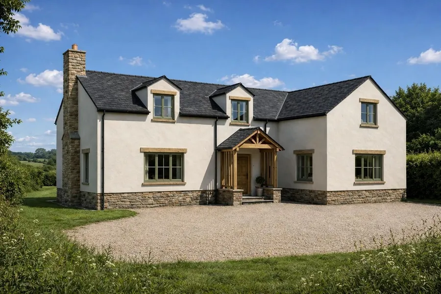
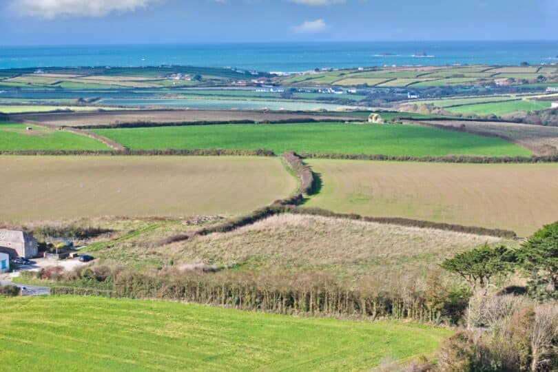
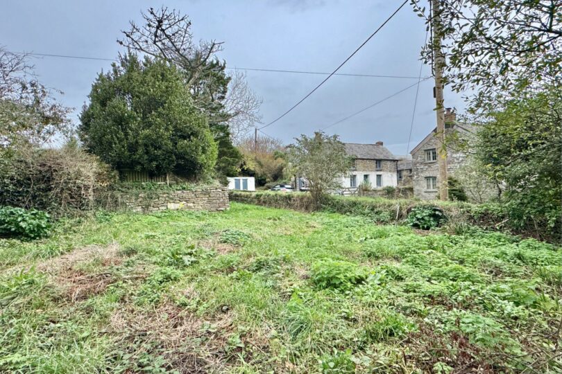
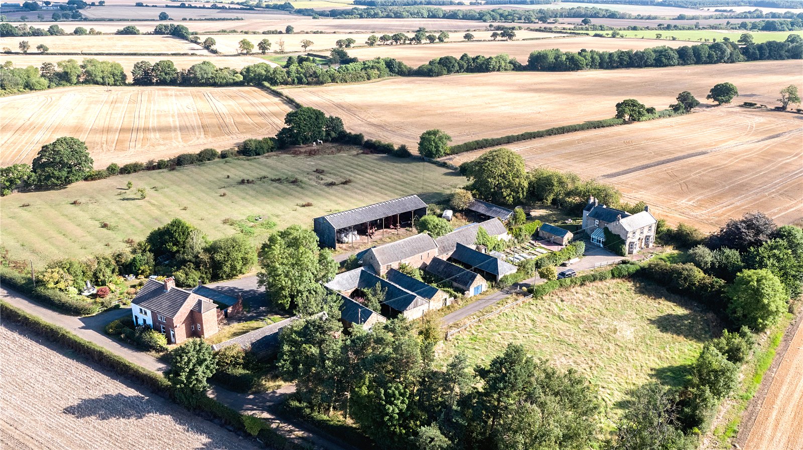
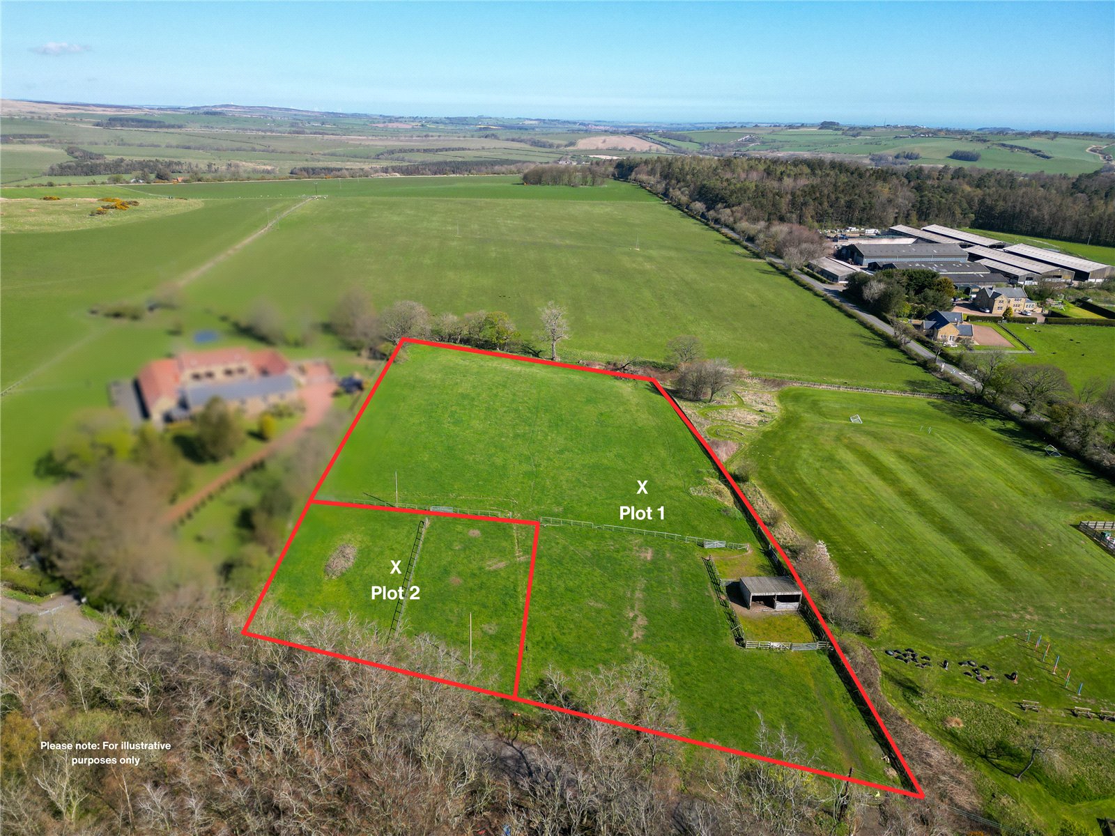
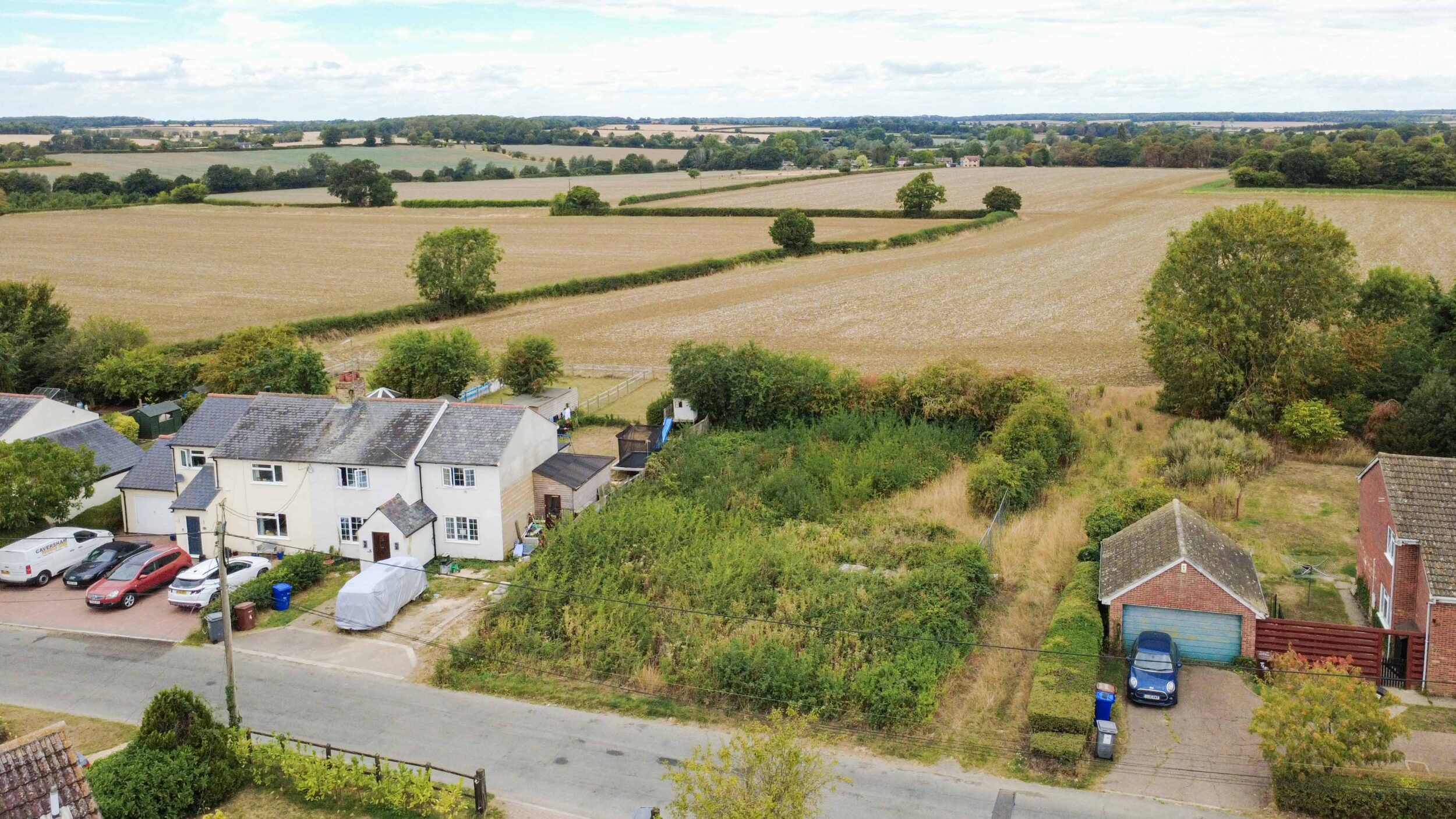
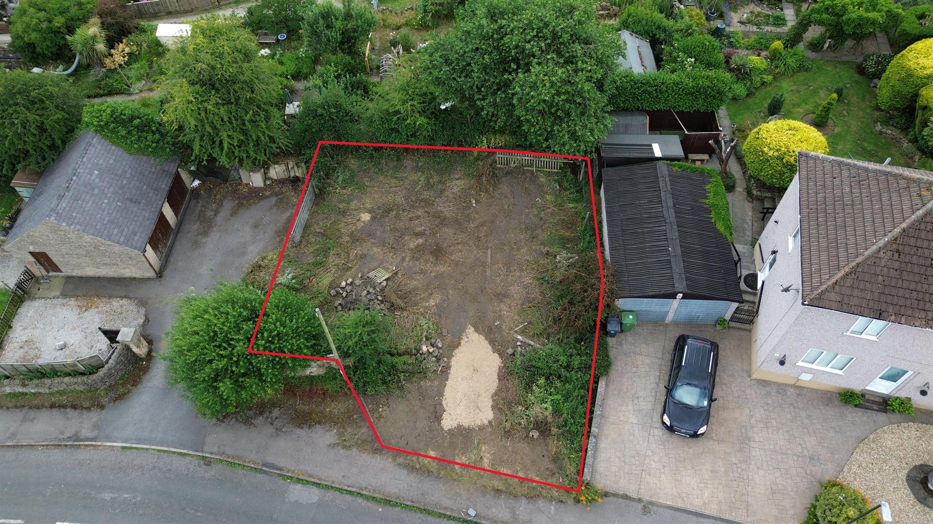
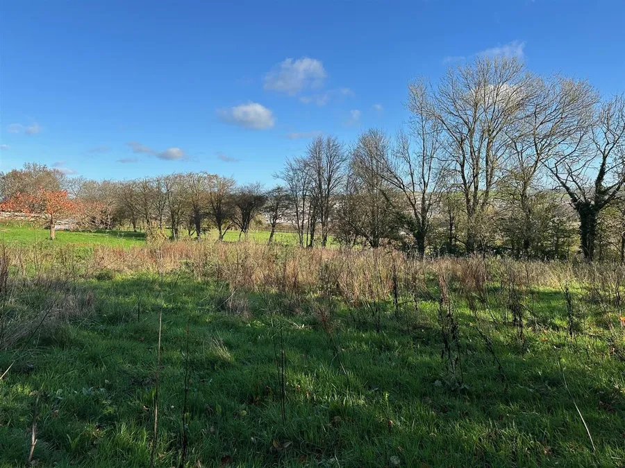
A few of the 114 plots for sale from independent agents, with the ground at each pin drawn from elevation data. Every listing links to the agent’s page and shows when we last checked it.

Photos are the agents’ own, shown from their listings and credited. “Agent says” is the agent’s claim, not a verified fact. Ground level from the Environment Agency LIDAR Composite DTM via Mapterhorn; glyphs show about 330 m around each pin.

Free to search. Plus when you’re buying.

Search every plot, read every report and plan a budget for free. Plus adds supplier quotes, document requests and help from our team. Cancel any time.

Free

£0

  • Search every plot
  • Plot reports and map checks
  • Budget planner
  • 1 saved collection
Search land →

Plus

£19a month

  • Supplier quote requests
  • AI quote comparison
  • “Send for me” document requests to the agent
  • Unlimited collections
  • 2 “Ask our team” requests a month
  • Report pack included

Cancel any time.

See Plus →

One-offs

Report pack£19A branded PDF of the plot report, with sources.
Ask our team£39Per request.
All prices →

Agents and suppliers

  • FreeListing land
  • £20 / 30 daysFeatured plot
  • £49 a month per branchAgent Pro, free for 12 months for the first 100 agents
  • £40 / £80 / £120Classifieds per category slot per council area, at most 3 advertisers per slot
  • £10Click-to-contact
  • £150 a monthRegional sponsorship
  • £99 a monthManufacturer placement: home models beside matching plots

Sponsored content is always labelled.

For agents and landowners

List your land free.

Your plot gets the same read as every other: the maps, the ground and the planning record, with the source next to each answer. Buyers contact you directly. We never handle enquiries or money.

Listing landFree
Featured plot£20 / 30 days
Agent Pro, per branch£49 a month
First 100 agentsPro free for 12 months

Plots in the 5 Oct 2026 snapshot come from

KLPGreenslade Taylor HuntRendellsBradleysDavid BurrMansbridge BalmentStagsBagshawsThe Land AgencyStrutt & ParkerRettieGFWMiller CommercialJackie StanleyWalshe’s PropertyEdwin ThompsonMyddelton & MajorBeercocksStephensonsMatch PropertyShore PartnershipBradley HallMarchand PetitSowerbys